2021
-
 04 Mar 2021 Using Open Sea Map data in Kibana mapsKibana
2018
2017
-
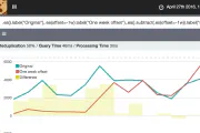
 18 Jan 2017 Kibana Timelion - Anomaly Detectionkibana
2016
-
 timelion
-
 logstash
-
 R
R
-
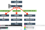 apache kafka
-
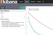
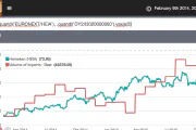 29 Mar 2016 Experiments with Kibana Timelionkibana
 -
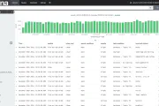
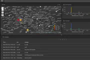 24 Mar 2016 My latest IRC client : Kibanalogstash
